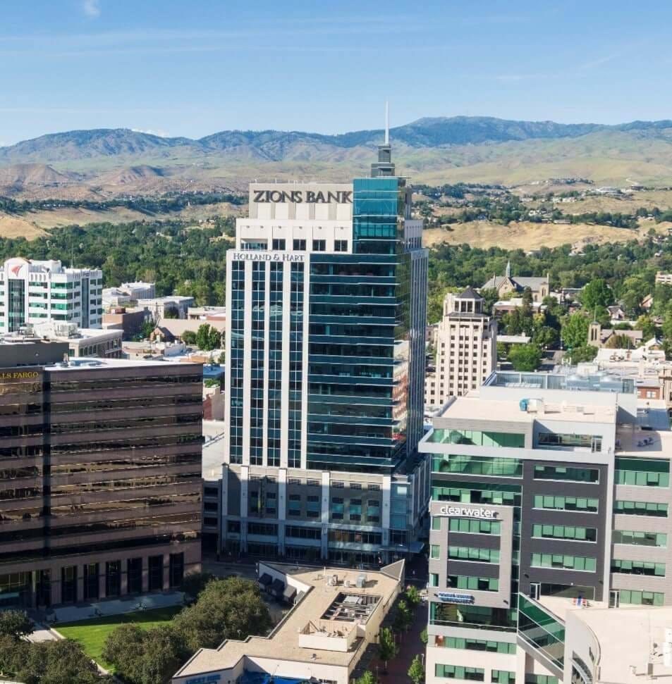
Current Areas of Investment
- Downtown
- State Street Transit Stations
- Planned large transit stations to support future Bus Rapid Transit along State Street
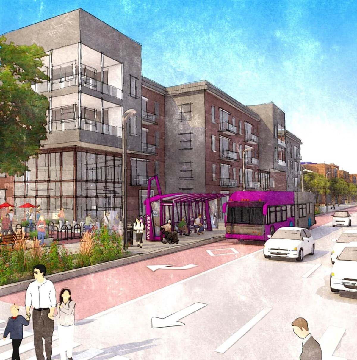
- Whitewater Park Blvd
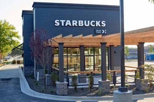
- Collister
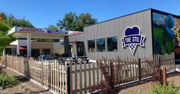
- Glenwood + Gary
- Horseshoe Bend
- Planned large transit stations to support future Bus Rapid Transit along State Street
- Pathways Corridors
- The Greenbelt
- Federal Way Bikeway
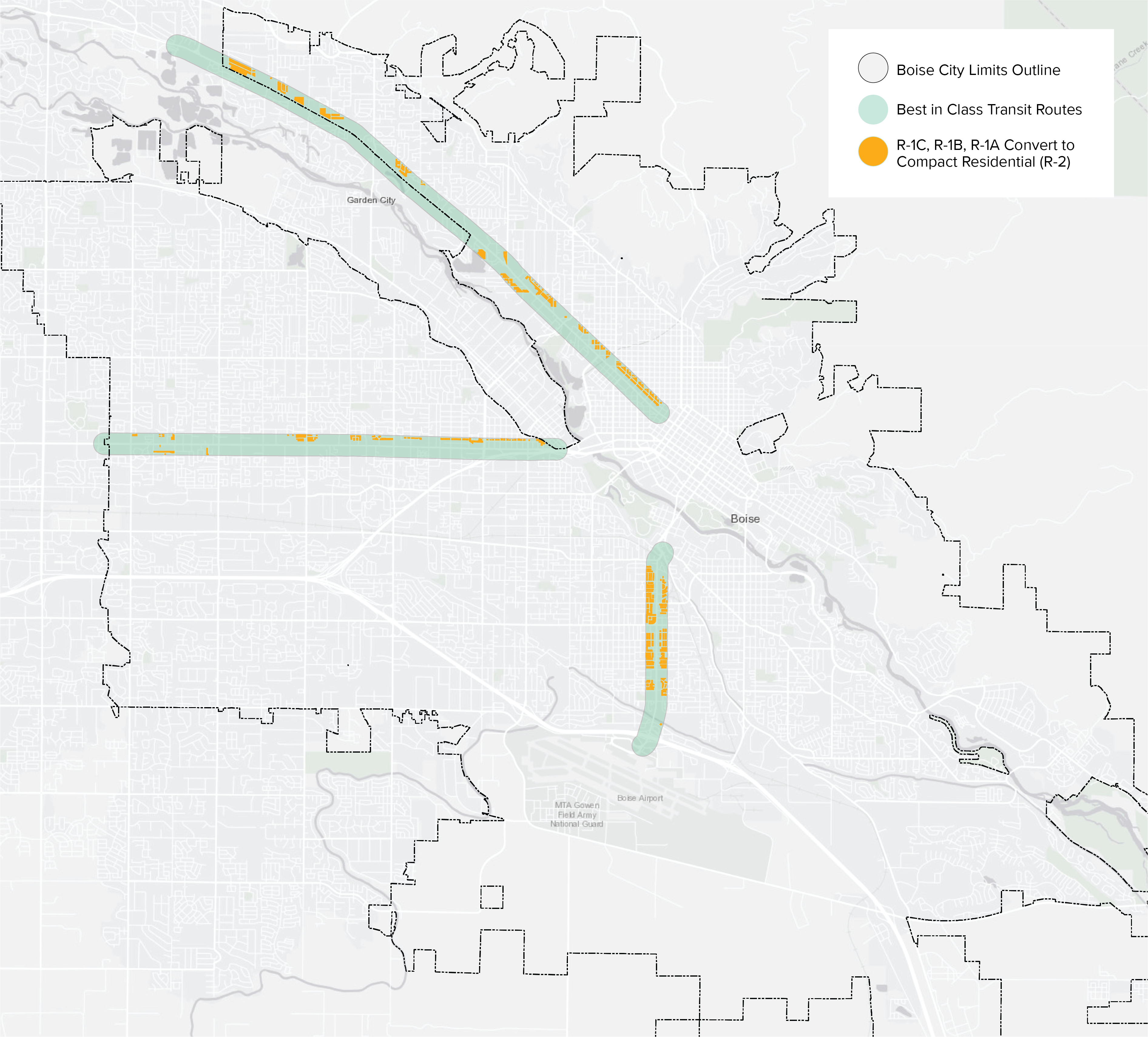
- Best in Class Transit Routes
- Current routes that provide service every 30 minutes and every 15 minutes during commute hours
- Route 3: Vista Ave
- Route 7: Fairview
- Route 9: State Street
- Current routes that provide service every 30 minutes and every 15 minutes during commute hours
- Regional + Community Activity Centers
- Areas identified in Blueprint Boise intended to support community needs