Goddard Road Linear Park & Pathway Improvement Project
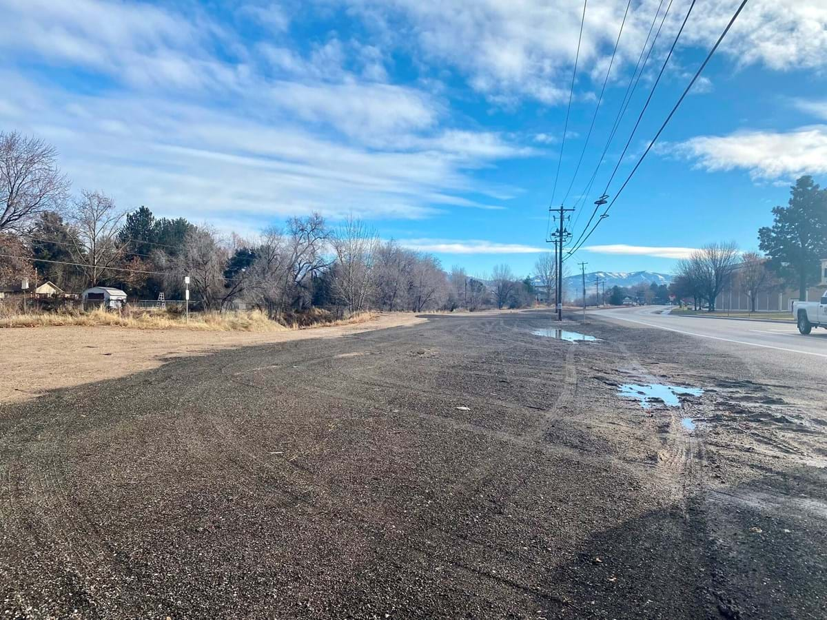
The City of Boise is using levy funds to develop a one-of-a-kind park and pathway in West Boise. The 3-acre linear park runs along West Goddard Road, across the street from Capital High School, and creates important pathway connectivity and open space access in a needed part of the city. The property, which is adjacent to Settlers Canal, was donated to the City of Boise by the Settlers Irrigation District in July 2022.
The new park will add about 2,800 feet of accessible pathway, creating new connectivity from Hyatt Hidden Lakes Reserve to Spaulding Ranch, park sites managed by Boise Parks and Recreation. The linear park will put an additional 685 households within a 10-minute walk to a park.
Project Approval
The Open Space and Clean Water Advisory Committee recommended the project to Boise City Council on December 6, 2023. At the December 13, 2023 evening meeting, council approved levy funding for the project in the amount of $2,063,718. The improvement project will provide critical open space, native habitat, pathways, and augments community partnerships.
Project Application
Design Details
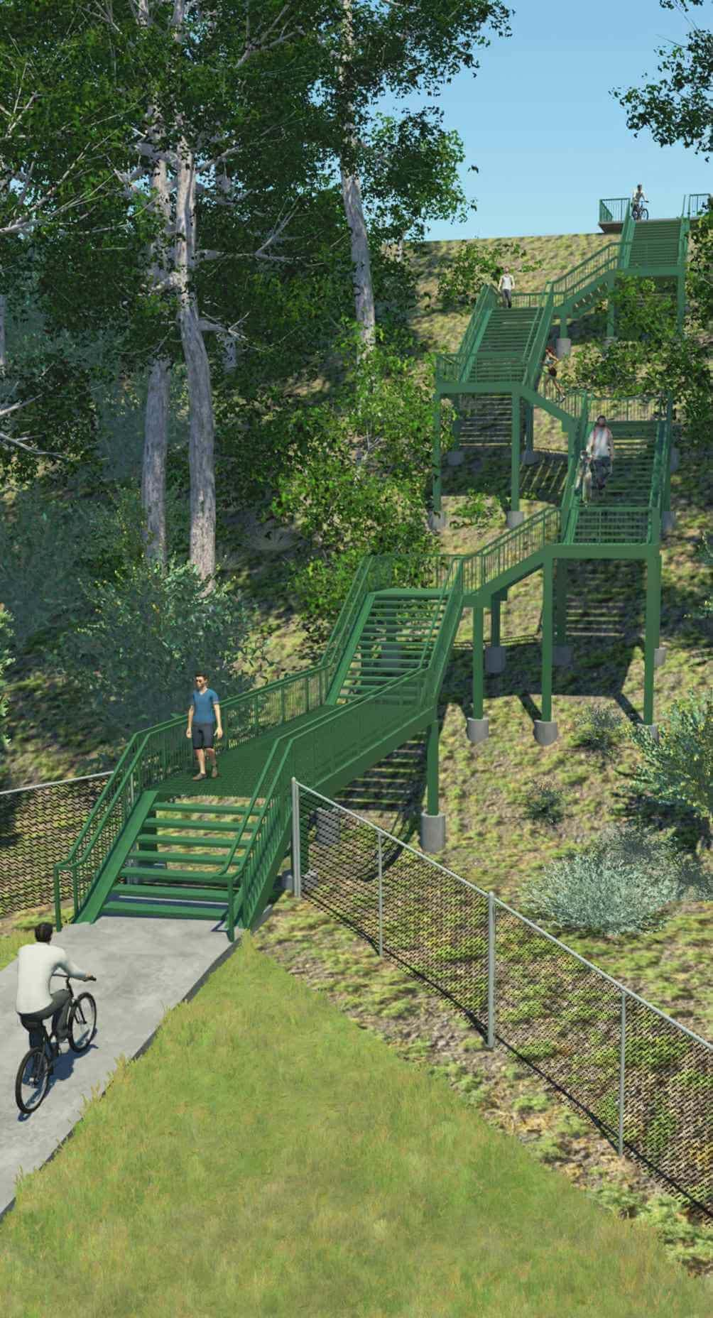
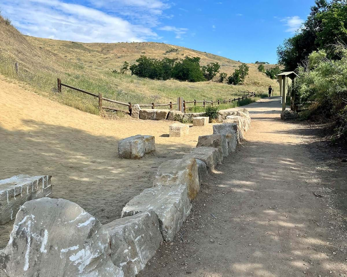
The linear park and pathway master plan design was developed based on stakeholder initiatives and community feedback. Design elements include a shaded transit stop with public art, 10-foot-wide accessible pathways, a shade pavilion with seating, and pollinator plantings with native shrubs and perennials.
Master Plan Design